
Schools
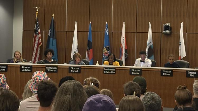
Venice High School football coach subject of sheriff’s office investigation
By Marcus Chen
ABC 7 Suncoast SWFL
Advertisement

SARASOTA, Fla. (WWSB) - Big changes are headed to the Suncoast this weekend as a cold front brings cooler temperatures, gusty winds, and potentially rough boating conditions.Friday will feel more like the middle of summer than October, with temperatures climbing around 90 degrees under partly cloudy skies. Tropical moisture will allow for heat indices to reach 100 degrees in some areas. By the late afternoon and into the early evening hours, rain chances may go up to 50% as scattered rain showers develop across the region. Even after sunset, the muggy conditions will stick around.Changes begin on Saturday as the cold front pushes through the Florida peninsula. A strengthening low-pressure system east of the Carolinas will help usher cooler air southward.Afternoon temperatures will reach the upper 80s with a chance of 50% chance of rain showers and thunderstorms.Once the front passes, temperatures will begin to drop into the 70s with the winds picking up. Wind gusts may reach up to 25 m
By Marcus Chen
ABC 7 Suncoast SWFL

By Katherine Langford
ABC 7 Suncoast SWFL

By Katherine Langford
ABC 7 Suncoast SWFL
By Katherine Langford
KARE 11 Local